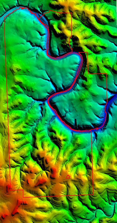
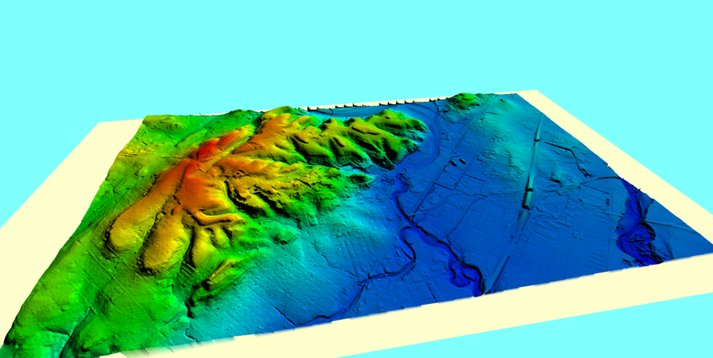
Pedernales Falls state park
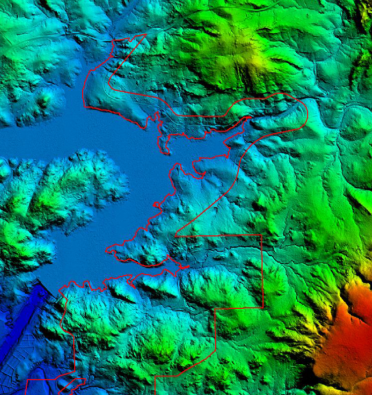
download free google earth map 5 foot contour interval, entire park. Useful for hikers.
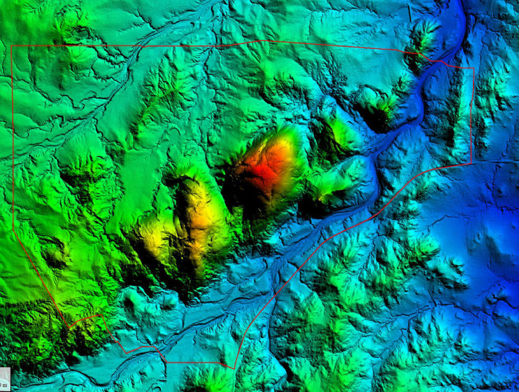
Enchanted Rock state park
Download a Google Earth kmz file to use.
Cover image
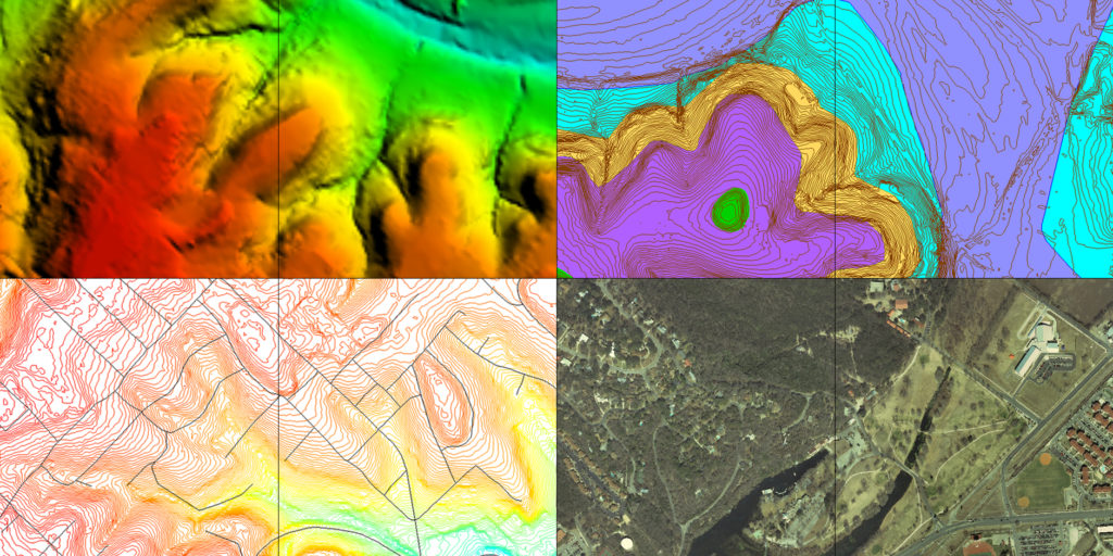
This composite of four map types shows (from top left, clockwise) DEM (Digital Elevation Model/Bare Earth), Geology, recent imagery and Topography. 4 types of maps in one
